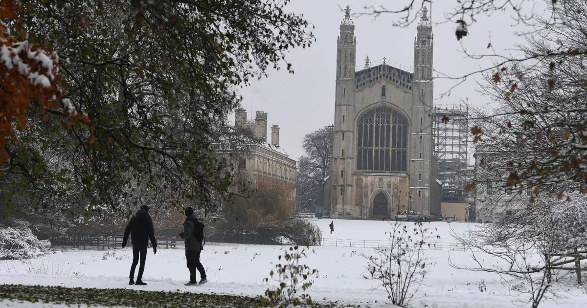
It doesn’t look like good news if you are hoping for a white Christmas this year
The Met Office has confirmed that prospects for a white Christmas are becoming increasingly remote.
Temperatures are expected to drop in the coming days, especially overnight, as a powerful easterly wind establishes itself across the region.
While the mercury reached 12.8C in Brize Norton, Oxfordshire, on Monday, forecasters predict that daytime temperatures will hover near freezing over the weekend.
Although conditions may become sufficiently cold for snow, the Met Office remains certain that a white Christmas is not anticipated.
Met Office meteorologist Annie Shuttleworth stated: “There is a very low chance of any widespread white Christmas at all at this time in any of these outcomes.”
She referenced multiple computer models displaying varying forecasts for December 25, all of which indicate high pressure systems moving across the UK, resulting in minimal rainfall or snowfall, reports the Mirror.
This contrasts sharply with the soggy beginning of December, which caused flooding in parts of south Wales.
Ms Shuttleworth continued: “It is nothing exceptionally cold, but what we can expect is a general downtrend in temperatures.”
Temperatures surpassed 12C in numerous locations, including Oxfordshire, Bedfordshire and Somerset, on Monday.
Nevertheless, the shift in wind direction will trigger the temperature decline, particularly across western regions of the UK at the beginning of next week.
Betting odds for a white Christmas had tumbled last week to evens at Aberdeen Airport and to 6/4 at Edinburgh Airport.
However, this latest information is likely to see bookmakers lengthen their odds throughout today. Historically, the UK experiences a snowy Christmas Day approximately once every four years.
However, a true “White Christmas”, as defined by the Met Office (at least one snowflake falling on 25 December), is more common in Scotland than in the south.
Currently, the long range forecast for between December 21 and December 310says: “Unsettled conditions are likely to continue at first, with low pressure probably centred somewhere to the southwest of the UK, whilst high pressure tries to nose in from the east across northern areas.
“This means a broadly easterly flow becoming established, whilst periods of rain or showers becoming increasingly confined to southern or southwestern parts. With time, high pressure is signalled to become rather more dominant with more in the way dry, settled weather anticipated.
“With this, temperatures will probably lower a little compared to recent weeks, closer to or perhaps a little below average for some. Overnight frost and fog or freezing fog could become more widespread, though any particularly cold conditions look unlikely at this stage.”


