
It was once a thriving and popular village
There are many stunning villages here in Cambridgeshire, and lots of them are rich in history. But one village nestled within a famous estate seems to have slipped from history.
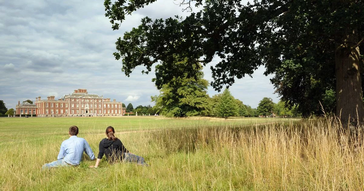
The beloved Wimpole Estate, known for its majestic 17th-century mansion and breathtaking expanses of ancient parkland and operational farmland, was once a thriving rural village teeming with local families who cultivated the land.
Cambridge Archaeology Field Group (CAFG) looked into what lies beneath the surface of the Wimpole estate, as well as exploring the surrounding arable fields where villages once stood. Their research found not only signs of a prehistoric past, including scattered worked flint and a likely Mesolithic/Neolithic pebble hammer, but also traces of these vanished villages and the families who once resided there.
The earliest record of the parish now located on the current Wimple Estate can be found in the Domesday Book of 1086. The land was split between two owners: Earl Gyrth and Eddeva the Fair, with much of the parish being used as arable farmland.
However, the details of the villagers remained largely unknown until 1560 when the parish registers of baptisms, marriages and burials began. These documents revealed that some of the earliest family names in the area were Mawlden, More, Pratt, Tyton, Semer and Brocke.
According to calculations by CAFG, the population increased by 63 in the first decade of the registers, indicating that it was a thriving and popular parish. One of the most detailed records we have of Wimpole Parish, which gives us a glimpse into what it might have looked like, is from 1638 when it appeared on Hare’s Map.
This map was drawn by Benjamin Hare for the lord of the manor, Thomas Chicheley, before he built the current Wimpole Hall. The map depicts clusters of homes scattered around a moated manor with a deer park – which still exists today. On the Hare Map, you can see a network of roads and tracks criss-crossing the parish.
Some seem to be longer-distance routes, possibly connecting Arrington and Great Eversden. Others provided local access to fields and headlands. However, all of this was set to change and, within 200 years, the parish had been completely abandoned. This may seem utterly strange for such a successful and popular area, but it appears that one specific estate took up more space than necessary.
In 1640, the Manor House was torn down and the building of Wimpole Hall commenced. Over the ensuing 200 years, as the Hall and park expanded, taxes were hiked.
Poverty was rampant, causing settlements like Bennall End, Thresham End, Wratworth and Ratford to vanish without a trace, taking with them the tales of their inhabitants.
Despite the 1801 census recording 56 families (a population of 202), by the 1810 land tax assessment, only Lord Hardwicke and eight tenants had enough land to be included. The existing village of Wimpole emerged around 1840, completely engulfing what was left of the previous settlement.
Today, little evidence remains of the old pathways and homes, save for some hollow ways and house platforms. However, plenty of medieval ridge and furrow, remnants of their ploughing, can still be seen in the park. The National Trust currently owns the Wimpole Estate, which is situated in Royston.


