
The entirety of the UK could be facing a major snow bomb in the days following New Year, with up to five inches of snowfall forecast in some of the worst-affected areas
A huge band of snow is heading straight for the UK, and could drop up to five inches in some regions, a meteorologist has revealed.
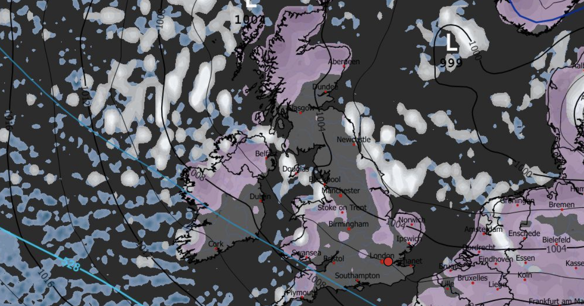
From January 4, the snow could fall as far south as Norfolk and the middle of Wales. The Northeast was forecast to see the most snowfall, however, with anything from one to five inches expected to fall.
At the same time, latest weather maps showed snow was forecast to fall in the Scottish Highlands, the East coast of England, East Anglia, Wales, and even in Cornwall. The Northeast, including Durham and Cleveland, could see an inch of snow every hour from January 4.
READ MORE: Amber cold warnings issued as Brits alerted to ‘rise in deaths’ over New YearREAD MORE: Met Office snow and ice severe weather warning issued with up to 30cm of snow
British Weather Services’ senior meteorologist Jim Dale told the Mirror: “It all starts on the 1st of January. It’s cold now, but it will become even colder, as you might imagine, on the first of January, as a cold front pushes through the UK – and it will drop snow.
“It will introduce snow to the Grampians, the Highlands. Then from the third, I would suggest a good part of Northern UK; so that I’m talking about Northern Ireland, Northern England, North Wales, maybe as far south as Norfolk, Lincolnshire-Norfolk way. What we’re basically saying at the moment is this is, if things stay as as we’re seeing it is, it could well become the nightmare after Christmas, rather than the nightmare before Christmas.”
The northeast of England was forecast to receive the most snow, added Jim. but it’s still a waiting exercise to see just how much snow could hit the southern parts of the UK.
He said: “The northeast will probably get anything from one to five inches – that’s probably where you are there. Then heading south, the jury’s out. These sporadic weather events can dump a lot where you least expect them to. You know, the Isle of Wight, for example, or Penzance. Once you’re in that airstream, you only need a wandering albatross – as in, a snow shower that’s got some weight attached to it – to dump its stuff and you’ve got a complete covering… so this is definitely a a watch and wait exercise.”
Latest weather maps show Arctic snow first hitting the UK on New Year’s Eve, with Scotland mainly affected. By the end of New Year’s Day, snow was forecast to fall across most of the North Sea.
Meanwhile, the Met Office issued a yellow weather warning for snow and ice in northern Scotland from 6am on New Year’s Day, lasting until the end of Friday January 2. It’s deputy chief forecaster, Mark Sidaway, said snow should be expected more widely across the UK in the following days.
He said: “It certainly looks like we are in for a taste of ‘winter’ as we welcome in the New Year, initially in the north, but more widely across the UK for the first week of 2026.
“Arctic air and strong northerly winds will bring cold or very cold conditions to all parts of the UK, and it will feel especially cold in the strong winds. Widespread and locally severe frosts are expected, along with the first snow of the winter for many.
“It looks like this cold spell will last through at least the first week of January, so it’s important people keep up to date with the latest forecast and warnings.”


