
Some emergency school closures have been announced due to the adverse weather conditions with temperatures expected to plummet further
As many people return to normal routine and children head back to school after the Christmas break the temperature is expected to remain freezing as a yellow weather warning for snow and ice has been issued over the next two days for Wales.
The Met Office has issued another the yellow warning from 12pm on Monday, January 5 until 11am on Tuesday, January 6. It follows an identical warning until midday Monday.
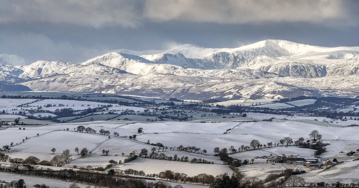
Snow is expected to build up to a potential 5-10cm in multiple areas, the greats chance being in Pembrokeshire, Carmarthenshire and Ceredigion. Some emergency school closures have been announced due to the adverse weather conditions across Wales today, which you can see in full here.
Temperatures in Wales are expected to hit “far below freezing”, reaching as low at -8C in some areas. The Met Office forecast for Sunday evening reads: “A mixture of clear periods and scattered wintry showers this evening and overnight, these leaving a fresh covering of snow in places with the risk of icy stretches in many areas. Skies clearing later and turning very cold and frosty. Minimum temperature -8 °C.”
Monday’s forecast reads: “Remaining similar with scattered snow flurries, these primarily in western areas. Sunny intervals too, these most prolonged in eastern counties. Staying very cold with icy stretches persisting in places. Maximum temperature 4 °C.”
Travel disruption is likely, especially throughout Monday night and Tuesday morning. There are two yellow warnings in place for Monday and one in place for Tuesday including different areas in Wales.
From 12pm on Sunday until 12pm on Monday the following areas have been issued the yellow warning for snow and ice:
- Blaenau Gwent
- Bridgend
- Caerphilly
- Cardiff
- Carmarthenshire
- Ceredigion
- Conwy
- Denbighshire
- Flintshire
- Gwynedd
- Merthyr Tydfil
- Monmouthshire
- Neath Port Talbot
- Newport
- Pembrokeshire
- Powys
- Rhondda Cynon Taf
- Swansea
- Torfaen
- Vale of Glamorgan
- Wrexham
A yellow weather warning is in place from 12pm today until 11am on Tuesday in the following areas:
- Carmarthenshire
- Ceredigion
- Conwy
- Denbighshire
- Flintshire
- Gwynedd
- Isle of Anglesey
- Neath Port Talbot
- Pembrokeshire
- Powys
- Swansea
- Wrexham
It is expected to warm up a little bit from Wednesday. The longer forecast for Wales reads: “Turning cloudier on Tuesday with patchy rain and hill snow possible. Brighter at first on Wednesday, then wet overnight with further rain and hill snow arriving Thursday. Somewhat less cold.”
Get daily breaking news updates on your phone by joining our WhatsApp community here. We occasionally treat members to special offers, promotions and ads from us and our partners. See our Privacy Notice


