
Business
Dubai Metro Blue Line map revealed
The Dubai Metro Blue Line will open to the public in 2029 and a new map revealed by the Road and Transport Authority (RTA) provides further details on the major transport network upgrade.
In a video on social media the RTA highlighted the route of the Dubai Metro Blue Line and explained it will eventually consist of 14 stations.
This will include five elevated stations, two future elevated stations, four underground stations and an underground interchange station. An additional two elevated stations have been identified for a future phase.
Dubai Metro Blue Line map
The RTA said the Dubai Metro Blue Line will extend 14.5km above ground. Furthermore, there will me 15.5km of track underground.
The project is expected to have a capacity of more than 320,000 passengers per day.
The RTA said: “The project is expected to enhance the integration of Dubai Metro’s network, elevating the quality of life and improving daily mobility across the city.”
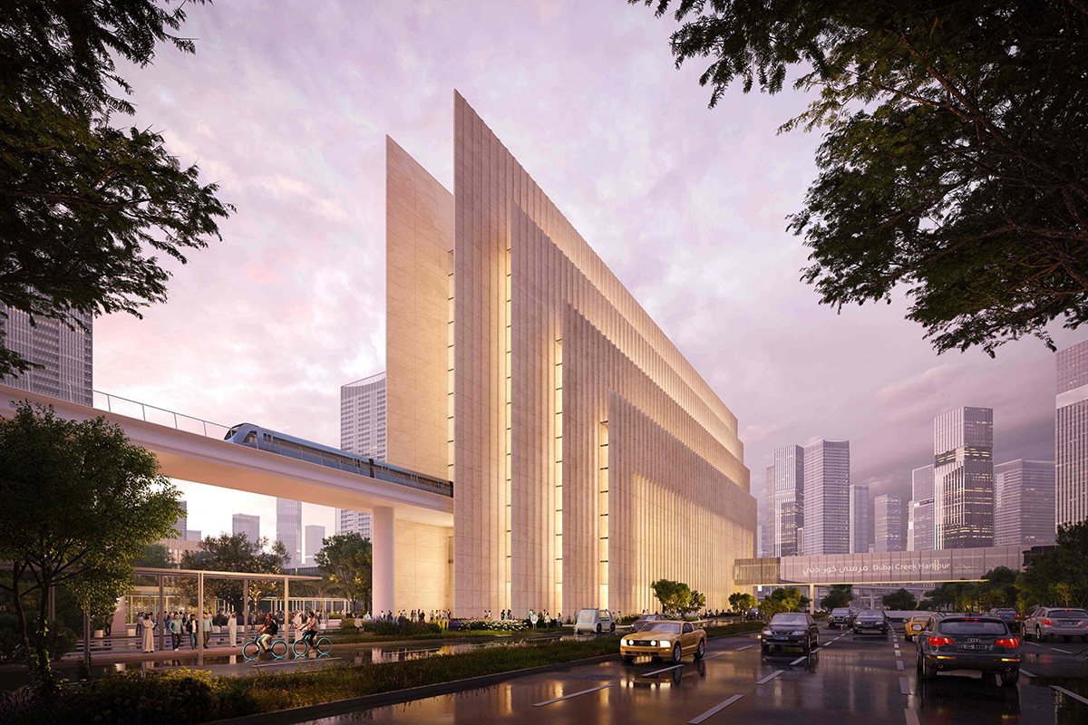
Previously, the RTA has explained: “The Blue Line extends in two directions. The first one originates from the Creek interchange station at the Green Line in Al Jaddaf, passing through Dubai Festival City, Dubai Creek Harbour, and Ras Al Khor, and from there to International City 1 that includes the interchange station.
“It continues towards International City 2 and 3, then to Dubai Silicon Oasis reaching Academic City.
“The second direction of the Blue Line extends from centrepoint interchange station at the Red Line in Al Rashidiya, passing through Mirdif and Al Warqa reaching International City 1 interchange station.
“It will also offer a direct connection between Dubai International Airport and nine key areas along the line namely Mirdif, Al Warqa, International City 1 and 2, Dubai Silicon Oasis, Academic City, Ras Al Khor Industrial Area, Dubai Creek Harbour and Dubai Festival City”.


