
The storm is set to bring dumps of snow and destructive winds along with heavy rain late on Thursday
The Met Office has escalated the numerous weather warnings it has issued as Storm Goretti hits the UK with a rare red warning for wind set to come into place later on Thursday.
The Met Office has warned that “dangerous” gales of up to 100mph could hit Cornwall and the Isles of Scilly on Thursday evening, creating a risk to life from flying debris. It comes as Wales is set to come under numerous weather warnings later in the afternoon, with alerts in place cautioning the public about disruptive rain, wind and snow.
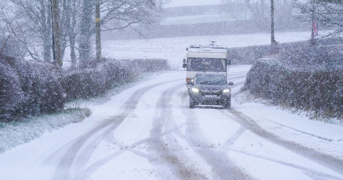
The Met Office issued an amber snow warning for Wales earlier this week, warning that up to 30cm could fall on Thursday evening and into Friday. You can follow all the latest weather updates here.
Forecasters have warned that the south west of England will be hit by high winds which are expected to increase rapidly starting at around 4pm on Thursday. The strong gusts will continue lashing the area until 11pm. The updated red warning for wind was announced at 2pm on Thursday.
A Met Office forecast read: “Storm Goretti will bring a period of exceptionally strong north-westerly winds to the Isles of Scilly and parts of Cornwall on Thursday evening, with peak gusts of 80-100mph or more in exposed areas. Winds are expected to increase rapidly from 30-40mph with violent gusts that may persist for two to three hours before easing.
“Winds will remain strong with the broader yellow warning in force until Friday morning. In addition, very large waves will bring dangerous conditions to some coastal areas.”
Parts of Wales are also set to be hit hard by Storm Goretti’s winds, with Pembrokeshire and Swansea now both expected to be affected.
There is a yellow Met Office warning in place for these areas on Thursday from 3pm, lasting until 8am on Friday. This weather warning for wind is in place alongside an amber warning for snow, a yellow warning for rain and a yellow warning for snow, all across the same two days.
The amber warning for snow, which is in place from 8pm Thursday to 9am on Friday, includes Blaenau Gwent, Caerphilly, Carmarthenshire, Ceredigion, Conwy, Denbighshire, Gwynedd, Merthyr Tydfil, Monmouthshire, Powys, Rhondda, Cynon Taf, Torfaen and Wrexham.
The Met Office forecast for Wales on Thursday states: “Some early bright spells in the west but soon turning unsettled with heavy rain, hill snow and strong winds developing, with coastal gales. By evening rain turning more to snow to lower levels. Maximum temperature 6 °C.”
It adds: “Unsettled with heavy rain and snow continuing this evening. Snow becoming more widespread through the night and reaching down to lower levels, accompanied by brisk winds. Minimum temperature 0 °C.”
Forecasters have warned of widespread disruption that will likely be caused by Storm Goretti. In Wales Transport for Wales has issued a special notice stating that a number of services will be suspended or severely delayed after 3pm Thursday.
Significant disruption looks set to kick in during the mid-afternoon with Network Rail opting to close several train lines in Wales due to weather warnings for heavy sleet and snow.
Get daily breaking news updates on your phone by joining our WhatsApp community here. We occasionally treat members to special offers, promotions and ads from us and our partners. See our Privacy Notice


