
News Beat
Met Office extends yellow snow warning for North East
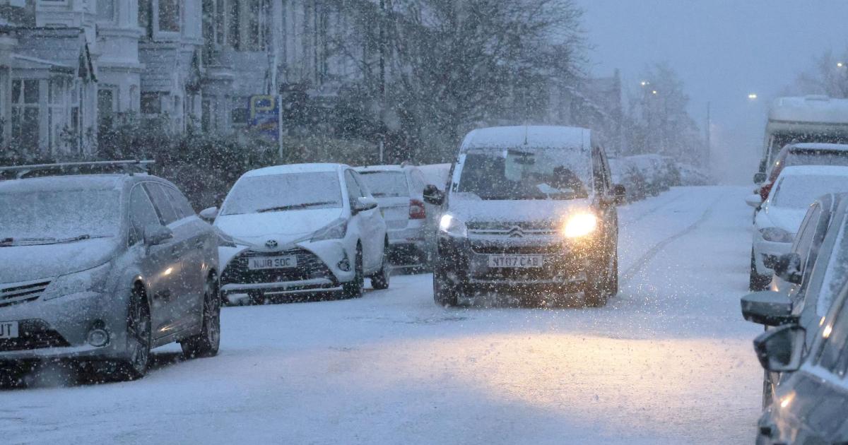
The national weather and climate service predicts snow and ice from Monday (January 5) until Tuesday (January 6).
The warning is in place from Midnight on Monday, January 5 until 11am on Tuesday, January 6, as icy patches and scattered snow showers are expected to cause disruption to travel across the North East.

This comes after a yellow warning for snow and ice was already in place earlier this weekend, affecting Darlington, Hartlepool, Middlesbrough, Redcar and Cleveland, and Stockton.
Cold air settling over the UK will keep temperatures well below freezing at times, meaning untreated roads, pavements and cycle paths around Seaham and Durham could become hazardous through the extended warning period.
Ice is expected to affect untreated surfaces, following snow showers earlier in the weekend, and wintry showers drifting in again on Monday as the cold spell persists.
The new yellow warning for snow and ice will affect:
- North East England – including areas such as Darlington, Durham, Gateshead, Hartlepool, Middlesbrough, Newcastle upon Tyne, North Tyneside, Northumberland, Redcar and Cleveland, South Tyneside, Stockton, and Sunderland.
- Other affected regions include parts of East Midlands, Lincolnshire, East of England, Norfolk, Suffolk, Lothian Borders, Scottish Borders, and Yorkshire and the Humber.
The Met Office warnings list snow showers moving inland from the North Sea, with small snow build-ups possible in places and icy patches forming through Monday night into Tuesday morning as temperatures drop below freezing again.
The forecaster is urging residents to avoid non-essential travel and to extra care on the roads.
Tips include using dipped headlights, accelerating gently, maintaining a safe distance from other vehicles, using low gears downhill, and avoiding harsh braking.


