
News Beat
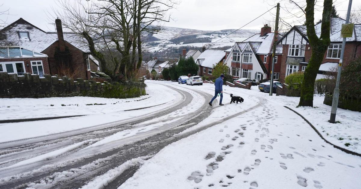
Met Office snow and ice warnings for UK after Storm Goretti

A yellow warning for snow and ice from the Met Office was announced on Friday afternoon (January 9) and remains in place until 3pm on Saturday, January 10.
It covers parts of northern England and much of Scotland.
The Met Office has warned of further snow, particularly in northern areas, while a widespread risk of ice is expected to cause ongoing disruption.
Met Office snow and ice warnings for UK after Storm Goretti
Rail disruption may be seen through the weekend across England, Wales and Scotland, National Rail said.
Elsewhere, a separate yellow warning for ice covers large parts of England and Wales until midday on Saturday as partially thawed snow refreezes, accompanied by wintry showers and freezing fog.
A yellow warning for snow and ice will be in force for much of Scotland, the East and West Midlands, north-east and north-west England and Yorkshire from 2am until 3pm on Sunday, January 11.
This will affect large parts of Scotland, the East and West Midlands, north-east and north-west England, and Yorkshire.
Another 2–5cm of snowfall is forecast for the areas covered by the warning.
According to Dan Stroud, Met Office meteorologist, wintry showers will persist in some coastal regions on Saturday, although these will become increasingly restricted to northern and eastern parts as the day continues.
He said: “Elsewhere, after a cold and frosty start, it should be a mostly dry day with variable amounts of cloud. It will be a widely cold day, with frost lingering across parts of the country.
“Sunday will start dry in the east, but cloud and rain already present in the west will move steadily eastwards.
“The rain will fall as snow inland across the north Midlands and areas further north.
“However, temperatures will rise through the day, meaning the snow will become increasingly confined to higher ground by the afternoon.
“It will be windy for all, with coastal gales and the potential for severe gales in the north-west later in the day.
“The unsettled but increasingly milder theme continues into next week, with persistent rain at times in northern and western areas, along with strong to gale-force winds.
Recommended reading:
“However, it will feel much milder than recently, with temperatures returning to near-normal values.”
The new week will also bring persistent rain to northern and western areas, along with strong to gale-force winds.
The Met Office, however, notes that the weather will be milder than recently, with temperatures returning to near-normal levels.


