
A yellow warning for snow and ice is in place across NI until midday on Monday
Cold conditions bringing a range of wintry hazards are set to continue for the next few days, forecasters say.
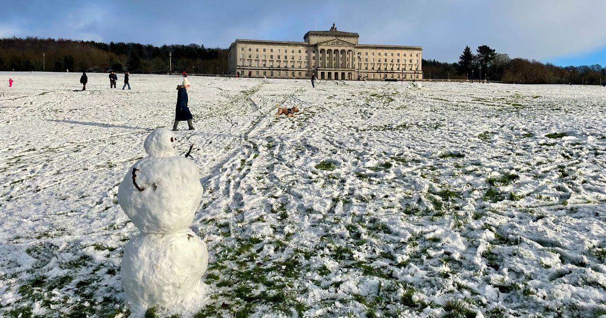
It comes as parts of Northern Ireland have been blanketed by snow over the past few days – with warnings of more to come.
A yellow weather warning for snow and ice is in place across the region until midday on Monday, January 5, but there could be some snow flurries after this as temperatures are to remain low.
READ MORE: See how much snow is expected in your area of Northern Ireland in coming daysREAD MORE: Which roads are gritted in Northern Ireland as snow warning in place
Looking ahead to the coming days, Met Office Chief Meteorologist, Matthew Lehnert, said: “As we begin the first full working week of the year, we face a range of winter weather hazards with snow showers and ice.
“In the north of Scotland, snow showers are expected to become more frequent on Sunday night with some locations within the Amber warning areas seeing a further 20-30 cm accumulate by Monday morning.
“Elsewhere in the UK, snow showers, ice and frost are expected at times but milder air will make attempts to spread eastward from Tuesday.
“This will mean rain becomes more likely in the south, but there is also the possibility of more organised snow along the boundary of the mild and cold airmasses. Strong winds could also be a feature later in the week.”
The weather forecaster said it is likely the forecast will evolve and therefore important people keep up to date with the latest forecast and warnings and plan ahead.
Ahead of the new week beginning and the weather warning ending, you can use our map below to see if you will get any further snow in your area in the coming days.
Simply enter your postcode in the widget below:
Meanwhile here’s the latest outlook for the coming days, according to the Met Office.
Monday:
Another cold day with sleet and snow showers, again fresh accumulations mainly over northern high ground, but showers becoming isolated later with sunny spells. Frost and ice in the evening. Maximum temperature 3°C.
Outlook for Tuesday to Thursday:
A changeable and mostly cold period with occasional bands of rain, sleet and mainly hill snow, but some sunnier drier spells too.
UK long range weather forecast: Friday 9 January – Sunday 18 January
A changeable period is expected, with Atlantic frontal systems occasionally affecting the UK, bringing spells of rain, likely preceded by snow in some areas, more especially central, northern and eastern parts. Some significant snowfall is possible in places, particularly on northern hills.
These low pressure systems could also bring some strong winds. These will be interspersed with quieter, drier interludes under transient ridges of high pressure, with the potential for frost, and wintry showers along coasts exposed to northerly winds.
Temperatures will tend to trend closer to average as the period progresses, mainly in the south, such that the frequency of wintry hazards, especially in the south, may reduce slightly. However, there is a hint late in this period that it may briefly turn widely drier and colder again.
For all the latest news, visit the Belfast Live homepage here and sign up to our daily newsletter here.


