
Weather forecasts show a front is due to sweep across the UK bringing blizzard conditions to multiple cities including Manchester and London
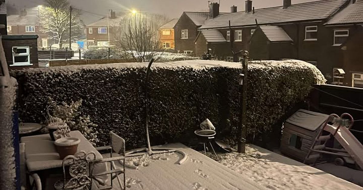
UK cities are bracing for a blanket of snow in the coming days as forecasts predict a wave of wintry weather sweeping across the country.
Metdesk’s weather forecasts indicate that a weather front is due to traverse the entire UK from east to west the week after next, bringing blizzard conditions to numerous regions, reports the Mirror.
The inclement weather is expected to hit around midday on Thursday, January 29, affecting Brits both in the north and south, according to weather charts from WXCharts.com..
The band of rain and snow is forecasted to shift eastwards across the UK throughout the day, transforming almost entirely into snow by 6pm, covering a 531-mile stretch from Exmoor to Kearvaig in Scotland.
Cities such as Bristol, Cardiff, Birmingham, Manchester, and Glasgow are all in the crosshairs, with several centimetres per hour predicted to fall across Britain.
By midday on Friday 30 January, the charts suggest that the dense band of snow will have moved over the UK, but localised blizzards will persist, particularly over London.
The map depicts a band of snow enveloping the capital, with an estimated one or two centimetres falling per hour.
Simultaneously, a separate map for the same period showing snow depth reveals most of the UK covered by midday on 30 January, with snow continuing to descend over London.
The final chart, illustrating snow depth throughout the UK, indicates that areas as far south as Southampton could experience up to 2-3cm of snow accumulation, with London and its surrounding regions also affected. Coverage becomes more substantial over elevated terrain and in northern areas.
The most significant accumulations are predicted in the eastern Highlands of Scotland, where snow could reach depths of 51cm (20 inches).
The Met Office’s long range forecast for Wednesday 21 January to Friday 30 January has highlighted an elevated likelihood of snowfall across various parts of the nation.
“Throughout this period, the UK will see a battle between Atlantic weather systems attempting to arrive from the west while high pressure and colder conditions attempt to exert some influence from the east,” the forecast said.
“Atlantic air is expected to dominate. This should maintain often cloudy, changeable conditions with showers or longer spells of rain for most. The wettest weather in western parts of the country, drier in the east. Temperatures overall likely to be around average with some night frosts in clearer areas.
“Later in the period, there is an increased chance that conditions will turn colder. This aspect of the forecast is still somewhat uncertain but the potential transition to colder weather also increases the chance of snow across parts of the country.”


