
News Beat
Storm Bram: flood warnings in York, North and East Yorkshire

The Environment Agency has flood warnings in place for riverside properties in York, the river Derwent at Stamford Bridge – the Weir Caravan Park and Kexby Bridge, and the river Derwent at Buttercrambe Mill.
Recommended reading:
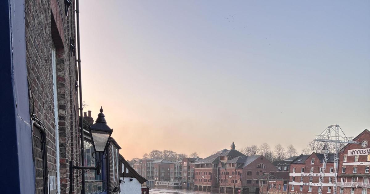
There are also warnings in place for the river Ouse at Naburn Lock and the Ouse at St George’s Field and Queen’s Staith.
A previous warning for the Ure at Boroughbridge camping and caravan site has been removed.
The Ouse was at 3.56m at 4am on Thursday on the Viking Recorder – 1.9m is the top of the river’s normal range.
The Environment Agency says The Foss Barrier is operating and relevant flood gates in York have been closed.
The highest recorded level for the Ouse at the Viking Recorder was 5.40 metres in November 2000.
The Environment Agency is urging people in the areas at risk of flooding to “take care and consider activating your flood plan if you have one”.
“We are closely monitoring the situation and will issue flood warnings if necessary,” a spokesperson said.
“Avoid using low lying footpaths and any bridges near local watercourse and do not attempt to walk, drive or cycle through flood water.
“High river levels are expected to continue to cause flooding in Buttercrambe today and tomorrow.
“Locations most affected will be Buttercrambe Mill at Buttercrambe Bridge. Levels have peaked and remain steady.
“They are expected to decline marginally in the coming days.”
The River Derwent level at Stamford Bridge was 9.25 metres. Property flooding is possible when it goes above 9.20 metres.
The Met Office forecast for the rest of December remains unsettled, with further periods of low pressure predicted.


