
It’s going to be another chilly week
Greater Manchester has enjoyed a frigid start to the New Year – and that shows no sign of abating as the cold spell continues.
Today (Sunday January 4) looks to be the coldest day for a little while, with lows of -5C, and the outdoor temperature remaining below freezing until midday.
The region will see a crisp and sunny start but this is set to cloud over later on, with a low chance of precipitation including a possible snow flurry, climbing to 40pc by 6pm.
And due to wind gusts (which will peak at 13mph) it is set to feel much colder, with the Met Office predicting a ‘feels like’ high of -1C.
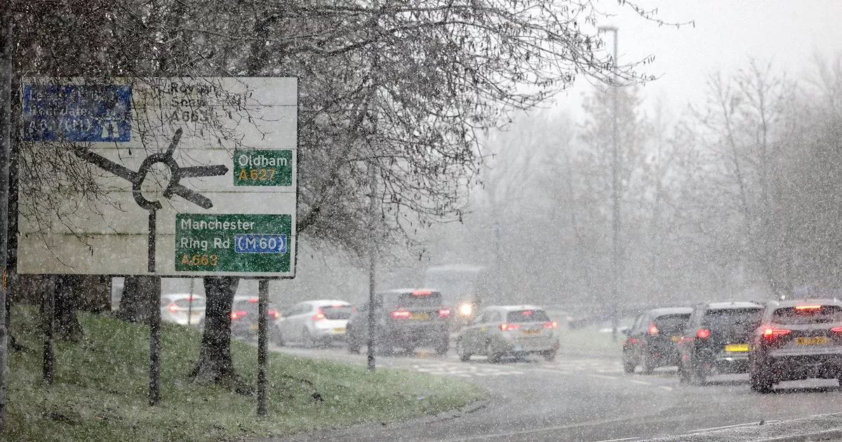
It comes as the forecaster has issued a yellow weather warning for snow and ice starting at 3pm today and lasting until midday tomorrow (January 5), forecasting inland snow showers and icy stretches throughout north west and south west England and most of Wales.
A day when many of us are returning to work and school, Monday looks to be another crisp and cloudless day, while remaining extremely cold: -3C at 9am and peaking at 1C by 3pm, with the ‘feels like’ temperature ranging between -2C and -6C.
Greater cloud cover is forecast for Tuesday (January 6), meaning it won’t be quite as cold, with temperatures peaking at 3C at 1pm and the ‘feels like’ temperature ranging between 0C and -5C.
The Met Office predicts a slight chance of snow flurries from 9am to 3pm, but this looks likely to turn back into rain, with a 60pc chance of rain continuing from 4pm onwards.
Wednesday looks set to be another cold but sunny day, remaining cloudless throughout with temperatures peaking at 3C by 1pm, though there is a slight chance of snowfall which increases as the day goes on.
And the rest of the week looks set to follow a similar pattern. Thursday, Friday and Saturday will be overcast and slightly warmer, reaching highs of 5C by the afternoon, but with increased chance of precipitation later on each day.
The ‘feels like’ temperature will range from -1C to 1C.


