
News Beat
UK weather: Snow and ice forecast as Met Office issues warnings
Maximum temperatures by day will be around 0 to 7C over the next few days before dropping further.
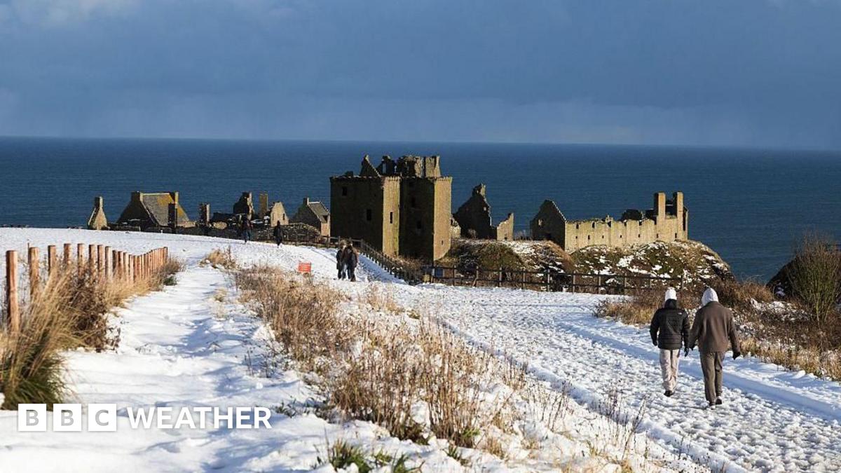
The colder Arctic air will spread across the UK from New Year’s Day – Thursday – with significant snowfall expected in Northern Scotland.
A Met Office yellow warning is in place here from 06:00 GMT Thursday until 23:59 Friday.
Snow accumulations could be around 2-10cm at low levels but up to 20-30cm over higher ground with some drifting and blizzards.
Delays on the roads with risk of vehicles being stranded are possible.
Some rural communities could also be cut off according to the Met Office.
There will be strong northerly winds too with an additional Met Office yellow warning for wind in north-east Scotland and the Northern Isles from 21:00 GMT Wednesday to 09:00 Thursday.
On Friday an area of snow showers will move across Northern Ireland, Wales, southern areas of North-West England, the Midlands and into southern England.
While snow fall may last a couple of hours, with 2-5cm possible at low levels so travel disruption is possible.
An additional Met Office yellow warning has been issued for midnight Friday until 12:00 GMT.
There could be as much as 5cm of snow over the higher ground of Wales and the southern Pennines.
By the end of this week temperatures will be up to 3-5C at best with some parts of Scotland and northern England experiencing ‘ice-days’ where temperatures don’t rise above freezing.


