
Conditions are expected to deteriorate rapidly as the day progresses on Thursday
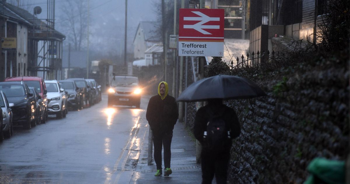
After an exceptional amount of rain over the past few days, Wales is set to see a short-lived break on Thursday before another spell of torrential rain moves in later in the day. Forecasters warn the respite will be brief with weather warnings and flood alerts already in place across much of the country.
BBC weather presenter Derek Brockway has promised a dry start to Thursday morning but stressed it will not last. “Heavy bursts of rain will clear eastwards, eventually drying up overnight bar one or two showers,” he said. “Winds will ease as well, with lowest temperatures between seven and 10°C.”
But conditions are expected to deteriorate rapidly as the day progresses. Another active frontal system will move northwards on Thursday, bringing another deluge.
A Met Office yellow weather warning comes into force at 10am, covering much of the south of Wales from Pembrokeshire to Newport. Rainfall totals of 15–25mm are expected widely, with higher amounts over high ground, increasing the risk of localised flooding. The warning is expected to last until 7pm.
Forecasters say cloud will thicken through the morning on Thursday with very wet and potentially very windy weather developing by lunchtime. Conditions should turn more showery and less blustery from the west later in the day.
Weather maps show the yellow warning stretching from Cardiff westwards, affecting Bridgend, Swansea, Neath Port Talbot, and extending towards the coast including Tenby, Haverfordwest and Milford Haven.
Rain is expected to spread northwards during the morning, becoming heavy and persistent during the afternoon before easing later. It will also be a breezy day, with south to south-easterly winds and temperatures remaining above average at 10–12°C.
By Thursday evening, another band of heavy showers is expected to move through, before conditions turn drier and clearer heading into Friday (December 18).
Places covered by Thursday’s weather warning
- Blaenau Gwent
- Bridgend
- Caerphilly
- Cardiff
- Carmarthenshire
- Ceredigion
- Merthyr Tydfil
- Monmouthshire
- Neath Port Talbot
- Newport
- Pembrokeshire
- Powys
- Rhondda Cynon Taf
- Swansea
- Torfaen
- Vale of Glamorgan
According to the Met Office on Thursday spray and flooding could lead to difficult driving conditions and some road closures, while there is a chance of delays to public transport and there is a chance homes and businesses in the region could become flooded.
Natural Resources Wales has confirmed three flood warnings and 21 flood alerts across the country. They are detailed below.
Flood warnings, meaning flooding is expected and immediate action is required:
- River Towy – isolated properties between Llandeilo and Abergwili
- River Cothi – low-lying areas at Pontargothi and Pontynyswen
- River Ritec – Tenby
Flood alerts, meaning flooding is possible so you should be prepared:
- Lower Teifi
- River Erch at Abererch
- North Gwynedd catchment
- Rivers Colwyn and Glaslyn at Beddgelert
- Rivers Bran and Gwydderig
- River Cothi
- Upper Towy
- Upper Tawe
- Lower Towy
- River Neath
- Rivers Llynfi and Ogmore
- River Ewenny and Vale of Glamorgan west
- Rivers Taf and Cynin
- Rivers Loughor and Amman
- Rivers Nant-Y-Fendrod and Nant Bran
- Glaslyn and Dwyryd catchment
- Rivers Gwendraeths
- North and west Pembrokeshire
- Western Cleddau
- South Pembrokeshire
- River Thaw


