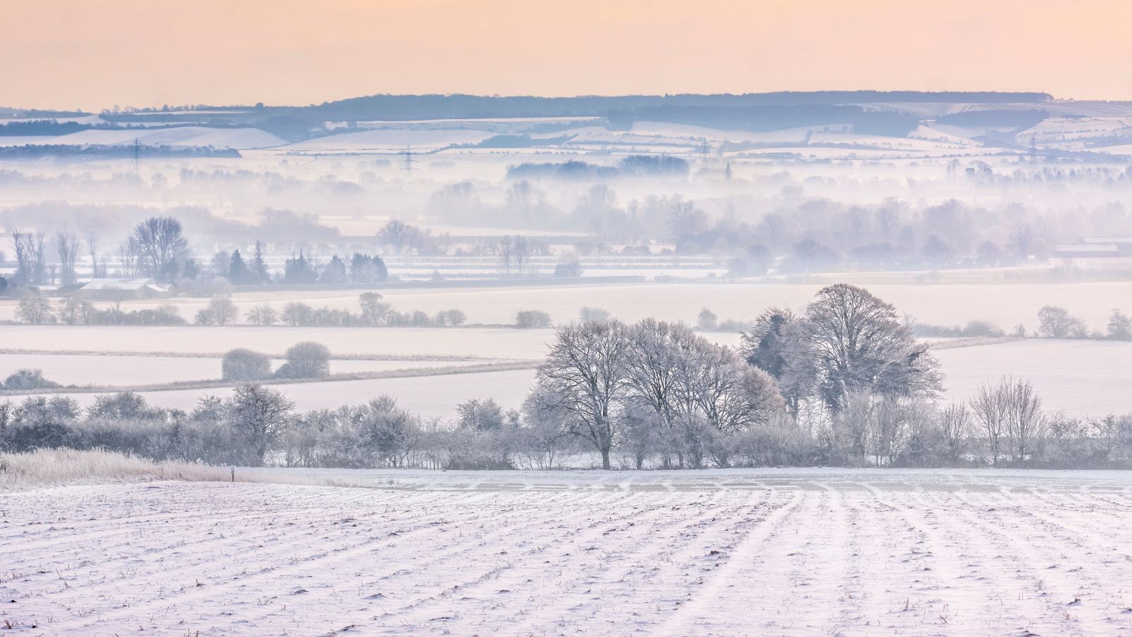
Large parts of the UK will be under a three-day snow warning from this weekend as forecasters warn people living in rural communities could become cut off.
The yellow warning is due to come into force at midday on Saturday and will last until 9am on Monday.
It covers all regions of England apart from the South West, most of Wales and some of southern Scotland.
The warning comes as a major incident was declared by police in Greater Manchester after flooding forced homes to be evacuated and closed train lines and roads following heavy rain.
It comes as temperatures are expected to fall with some northern parts seeing the mercury fall as low as -10C.
About 5cm of snow is expected widely across the Midlands, Wales and northern England, with as much as 20-30cm (8-12ins) over high ground in Wales and/or the Pennines, according to the Met Office.
It said: “Heavy snow may cause some disruption over the weekend”, adding: “There is a small chance that power cuts will occur and other services, such as mobile phone coverage, may be affected.”
The weather agency went on: “There is a slight chance that some rural communities could become cut off. There is a chance of travel delays on roads with some stranded vehicles and passengers, along with delayed or cancelled rail and air travel.”
Advice for motorists
The Met Office said snowy, wintry weather can cause delays and make driving conditions dangerous, so to keep yourself and others safe, plan your route, checking for delays and road closures, amending your travel plans if necessary.
Leave more time to prepare and check your car before setting off. Also, make sure you have essentials packed in your car in the event of any delays – warm clothing, food, water, a blanket, a torch, ice scraper/de-icer, a warning triangle, high visibility vest and an in-car phone charger).
How to prepare for possible power cuts
The Met Office said people cope better with power cuts when they have prepared for them in advance – so those who may be affected should consider gathering torches and batteries, a mobile phone power pack and other essential items.
The agency has also said there is a yellow warning in place for snow and ice covering northern Scotland from 4am on Wednesday until 10am on Thursday, which could lead to some travel disruption and difficult driving conditions.
And a yellow ice warning has been issued from 4pm on Wednesday until 10am on Thursday, covering Northern Ireland, parts of North Wales, northern England and all of Scotland, which could also lead to difficult travel conditions.
It comes as strong winds and heavy rain have been battering the UK, with some flooding.
‘Major incident’ declared
Amid the floods, Greater Manchester Police said a major incident was declared as mountain rescue teams have been deployed to help the fire and rescue service deal with damaged properties and stranded vehicles.
Some residents have been asked to evacuate where flood warnings have been issued, Manchester City Council said.
Flooding has been reported in areas across Greater Manchester including Bolton, Didsbury, Harpurhey, Stalybridge, Stockport and Wigan, police have said.
The North West and Wales experienced heavy rain for much of the morning on Wednesday, which comes after the Met Office said some parts of the North West saw almost a month’s worth of rain within 48 hours.
Honister Pass in Cumbria had nearly 150mm (6ins) of rain, while Rochdale in Greater Manchester had 77mm (3ins).
More than 50 flood warnings, meaning flooding was expected, were in place for England, eight for Wales and 15 for Scotland.
Read more from Sky News:
Household bills could rise by almost £270 in April
Hunt for driver after woman, 70, killed in hit-and-run
Looking ahead, Sky’s weather producer Dr Chris England said: “A northerly flow will make it much colder over the next few days, with extensive overnight frosts and daytime temperatures in the low single figures Celsius.
“Some northern parts can expect temperatures down to -10C (14F), perhaps less, and will stay freezing all day. The UK Health Security Agency has issued yellow cold weather alerts to prepare responders to risk from the wintry spells. There’ll be some dense freezing fog around too.”
He added: “The weekend will bring the risk of extensive and significant snow over England, Wales and perhaps southern Scotland, as rain expected to move up from the South West later on Saturday and Sunday turns to snow on its leading edge, before turning to rain and clearing on Monday.”
The start of London’s New Year’s Day Parade was delayed by 30 minutes due to high winds being forecast, and inflatable cartoon characters were no longer going to be used, event spokesman Dan Kirkby said.


+ There are no comments
Add yours