
She was one of almost 30 women violently killed in Northern Ireland since 2020.
A local community that was home to pregnant mum-of-two Sarah Montgomery lived prior to her murder last summer is to honour her memory with an upcoming event focusing on domestic abuse.
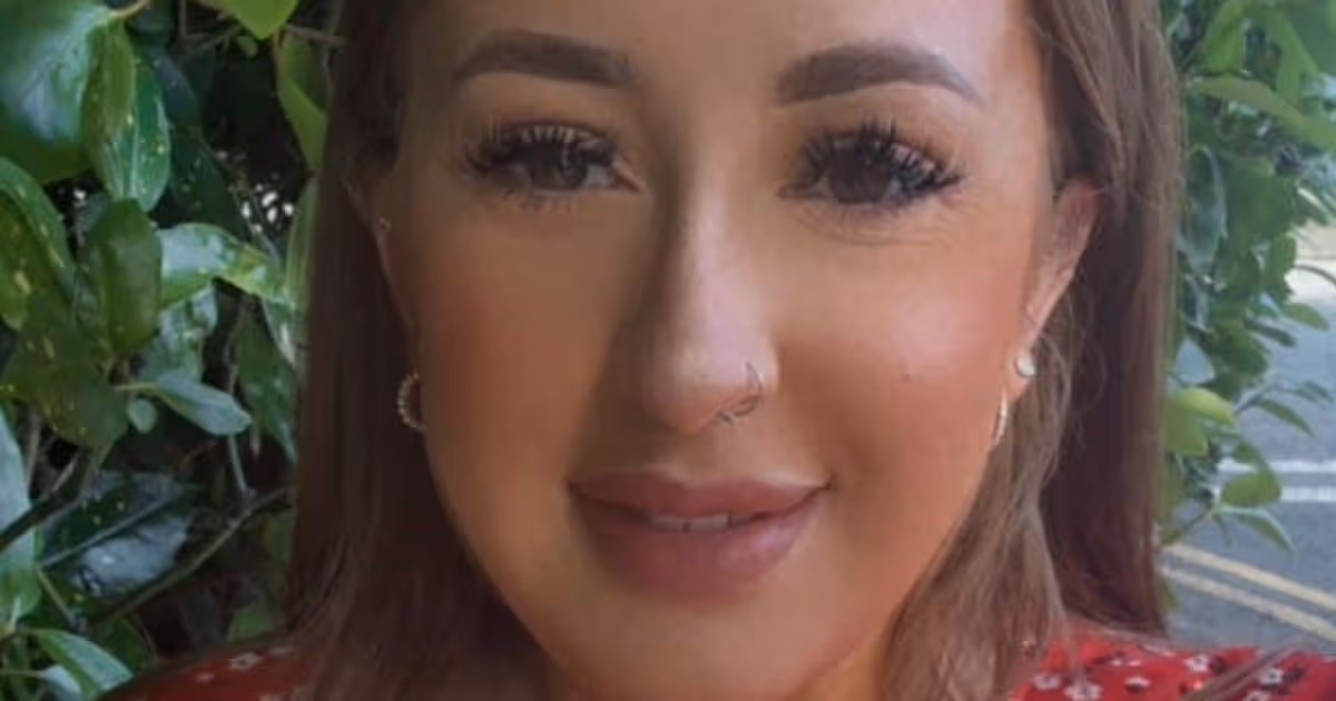
Sarah Montgomery , 27, died at her home in Donaghadee, Co Down on June 27 last year. She was 34 weeks pregnant when she was killed, along with her unborn son, at her home at Elmfield Walk where she lived with her two little girls.
Zak Hughes, 28, from Ardglen Place in Belfast but currently on remand in HMP Maghaberry, is charged with the murder of Sarah and with destruction of her unborn child on the same date.
READ MORE: Co Down woman’s challenge in memory of childhood friend who died tragicallyREAD MORE: Northern Ireland murder toll 2025 as 15 lives taken in 12 months
Sarah was one of almost 30 women to have been murdered in Northern Ireland since 2020. Her death led to renewed focus on the rate of violence against women and girls here and hundreds of people attended a vigil in her memory in the days following her death.
The event, When Home Isn’t Safe, is being hosted by the local charity, the Donaghadee Community Development Association, supported by Women’s Aid North Down and Ards, and the Police and Community Safety Partnership.
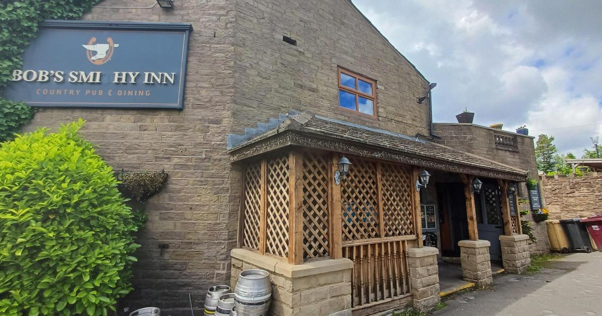
The Association is inviting people to join them ‘in honour of Sarah Montgomery and her baby Liam’, for an ‘evening of solidarity, reflection and action around domestic abuse and coercive control’ at Donaghadee Community Centre, 12a Railway Street, Donagahdee next Tuesday, March 3 from 7pm to 8:30pm.
In a social media post announcing the event, the Association stated: “This event is in honour of Sarah Montgomery and everyone who has been impacted by domestic abuse in Northern Ireland.”
The charity’s event is being held in light of alarming statistics which show the PSNI receive an emergency call about domestic abuse every 17 minutes while 32,000 children and young people are living with domestic abuse.
The event will inform participants of the symptoms of domestic abuse, ways to respond safely and what local support services are available for help.
It will also feature the ’Souls of Our Shoes’ exhibition – depicting footwear from more than 50 survivors of domestic abuse – which was organised by the Mother’s Union for display at Stormont last autumn in an evocative bid to call for an end to violence in the home.
To ensure you don’t miss out on all the latest from Belfast Live, be sure to make us your preferred source on Google.


You must be logged in to post a comment Login