

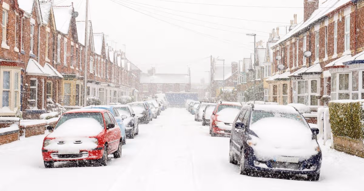
The Met Office has issued a new snow forecast for the UK just days after it issued a series of weather warnings for snow, rain and strong winds as the UK braces for more wintry weather ahead of the weekend
The UK is bracing for another bout of snow before the weekend, following a fresh forecast from the Met Office just days after its previous snow warnings.
The weather authority issued a series of yellow and amber alerts, warning of snow, rain and strong winds. However, more snow is predicted to hit the UK before Saturday, affecting several regions, reports the Express..
The Met Office’s snow maps highlight the areas, predominantly in Scotland and northern England, that are expected to experience snowfall. Heavy snow, exceeding 4mm per hour, is possible on the hills on Friday, January 30.
Simultaneously, additional rainfall is anticipated for much of the rest of the country, particularly along the east coast, the North, and the South East.
In its forecast for Thursday to Saturday, the Met Office stated: “Staying unsettled with further showers or longer spells of rain, particularly in the southwest and eastern Scotland. Some drier interludes too, particularly in the east. Feeling chilly in brisk winds.”
Looking ahead to Saturday to Monday, it added: “Weather systems from the Atlantic will continue to attempt to push in from the west, but tending to stall in the vicinity of the UK as they encounter high pressure to the north and northeast. As a result, further spells of rain or showers as well as strong winds are expected at times.
“Rain may be heavy and persistent, especially in the south and west. Whilst mild conditions are expected to encroach into the south and southwest at times, cold air is likely to be positioned to the northeast, bringing wintry showers at times. Where fronts from the southwest do reach the cold air towards the northeast, there is the risk of some snow, most likely across hills, but perhaps extending to lower areas at times.”
Based on the Met Office’s forecast map, 16 UK regions could see potential snowfall:
- Fort William
- Loch Rannoch
- Strathyre
- Pitlochry
- Biggar
- Tarbert
- Glasgow
- Cumnock
- Dumfries
- Jedburgh
- Kendal
- Brough
- Settle
- Northallerton
- Skipton
- Hawes
In its guidance on preparing for potential disruption, the forecaster advises: “Snowy, wintry weather can cause delays and make driving conditions dangerous. Keep yourself and others safe by planning your route, giving yourself extra time for your journey. Check for road closures or delays to public transport and amend plans if necessary.
“If driving, make sure you have some essentials in your car in the event of any delays (e.g. warm clothing, food, water, a blanket, a torch, ice scraper/de-icer, a warning triangle, high visibility vest and an in-car phone charger).
“Check if your property could be at risk of flooding. If so, consider preparing a flood plan and an emergency flood kit.
“Give yourself the best chance of avoiding delays by checking road conditions if driving, or bus and train timetables, amending your travel plans if necessary.
“People cope better with power cuts when they have prepared for them in advance. It’s easy to do; consider gathering torches and batteries, a mobile phone power pack and other essential items.”


