Tech
NASA’s Perseverance Rover Can Now Pinpoint its Location on Mars

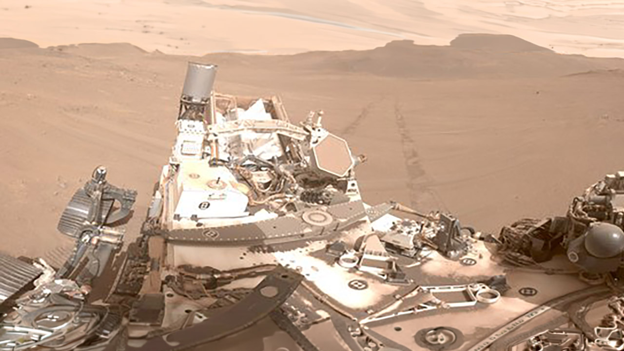
NASA’s Perseverance rover has just reached a small but significant milestone on Mars. After five years of carefully traveling about the bottom of Jezero Crater, the rover now knows exactly where it is without having to rely on a crew on Earth. A new system called Mars Global Localization has made the task possible in less than two minutes, with accuracy to within ten inches.


Engineers at NASA’s Jet Propulsion Lab came up with the idea of allowing the rover to match what it sees on the ground to the super precise maps acquired from space. Perseverance begins by capturing a full 360-degree panorama with its cameras, similar to the vision you get when spinning around in a circle. It then stitches that together to provide a circular perspective from above, similar to a bird’s-eye view. The software then compares that to some ultra high-resolution topography maps taken by the Mars Reconnaissance Orbiter.


LEGO Technic NASA Mars Rover Perseverance Building Toys – STEM Model Kit for Boys & Girls, Ages 10+ Years…
- Feed a passion for science and technology – Kids can learn more about the challenges of space exploration with this LEGO Technic NASA Mars Rover…
- Conduct a test flight – This advanced building kit for kids ages 10 and up includes a buildable toy version of NASA’s Ingenuity helicopter, which…
- AR brings the mission to life – The accompanying augmented reality app experience lets kids dive into the details of the rover and its mission
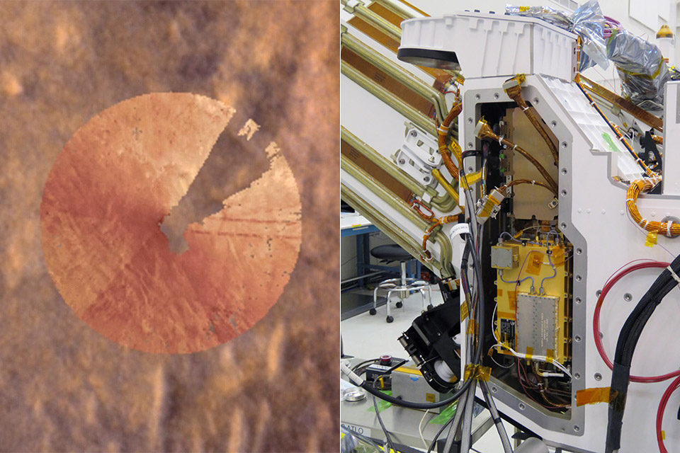
Matching up the features between the two is quick since the program just looks for similar rocks, ridges, and slopes in both the rover’s perspective on the ground and from space. And once it finds a match, the rover is quite accurate. The entire operation is powered by an outdated processor from the Ingenuity helicopter, which is far faster than the technology in the rover. That’s why it can all be done in two minutes.
Perseverance had previously become trapped as it drove larger distances. The visual odometry was attempting to follow how the rocks around it moved in the camera frames, but the wheel simply slipping on the soft soil was causing the position to shift over time. After a few hundred feet, the position could shift by more than a hundred feet. So the team would send it more photographs, and the specialists on Earth would manually align them with the images from space, which could take a full day or longer.

Mars Global Localization changes all of that because the rover can now determine its position immediately after a drive, make any necessary corrections, and simply keep going. With it linked with the existing AutoNav system, which can already handle obstructions, the rover can just keep going. The more ground it traverses per Martian day, the faster it will pass through Jezero Crater and beyond.

The technology underwent extensive testing prior to its debut. The engineers tested it on data from 264 previous rover pauses and found that it correctly identified every single one by comparing old photographs to space maps. Then it saw its first real use on February 2, 2026, and it worked again a few weeks later. One of the first times it was utilized was in a somewhat dull section of the crater rim known as Mala Mala, where there aren’t many fascinating landmarks to look at, but the system still managed to pinpoint the location within the target margin of error.