In business, nature often gets reduced to numbers: emissions targets, sustainability metrics, biodiversity data. But when professionals rely too heavily on what’s measurable, they can risk missing what’s meaningful. One of the most effective ways to tackle this is through outdoor education.
For business students and professionals, this approach offers something conventional leadership programs often miss. Outdoors, environmental issues become tangible. Ecosystems, soil, and water are no longer abstract case material, but living systems to notice and learn from.
My own work with students studying for a Masters in business administration (MBA) shows how outdoor learning can support business professionals. It helps them rethink leadership, sustainability and their relationship with the living world in ways that classroom teaching rarely achieves.
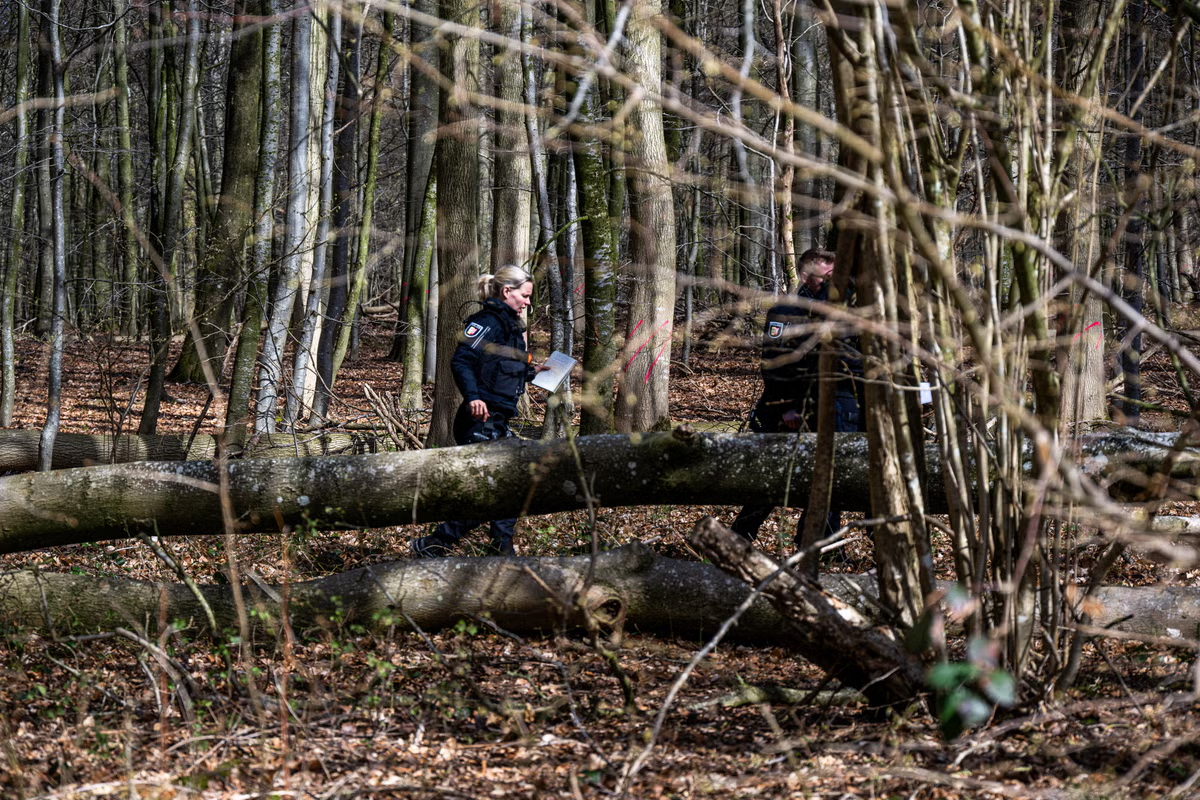
My students and I have headed out of seminar rooms at the University of Bath and into nearby fields and woodland to experience, instead of just think and talk about, sustainability. Some were hesitant at first. As they slowed down and tuned in, though, the conversations shifted.
One told me they had not felt so clear-headed in years. Others described sudden “ah-ha” moments – experiencing interdependence (a cornerstone of both ecology and sustainability) not as theory, but as an experienced reality.
These moments highlight what philosophers describe as the shift from “shallow” to “deep” connection with nature. As I have argued in research, shallow approaches treat nature as a backdrop for reports, strategies, or symbolic gestures. Deep connection arises when leaders feel their place within living systems through direct, embodied experience.
Other studies have found similar results. A research study that reviewed a wide range of outdoor learning programs found consistent outcomes. Participants reported stronger motivation, improved wellbeing and more positive environmental attitudes.
Recent research in has found that direct engagement with nature is one of the strongest predictors of a lifelong commitment to helping the environment. Experiential education can support this. It involves hands-on, immersive experiences in nature, where people engage emotionally with ecosystems and reflect on their place within them, rather than learning in abstract ways.
Larek/Shutterstock
This matters for business because leadership decisions are not purely analytical. They are influenced by perception, emotions and values. Research shows that awe-inspiring encounters in nature can reduce stress and enhance empathy. In one study, participants who spent meaningful time outdoors later drew themselves smaller, reflecting a humbler, interconnected sense of self.
For business leaders, humility and empathy are not soft extras. They are essential for navigating crises, building trust and making effective long-term decisions. Outdoor learning creates the conditions for these qualities to develop.
This is why nature-based leadership retreats and wilderness programs are on the rise.
Business practice
A growing number of companies are taking their teams outdoors to connect employees more deeply with their sustainability strategies. Rather than discussing sustainability in meeting rooms, participants encounter nature directly through the living systems they depend on. The intention is to make organisational values tangible and emotionally resonant.
Clothing company Patagonia’s founder, Yvon Chouinard, has long credited time outdoors as foundational to his company’s environmental values. Footwear company Vivobarefoot’s leadership team has held nature immersions on remote beaches and in woodlands to guide a shift toward “regenerative thinking”.
These initiatives are not fringe experiments – they signal how business culture itself is beginning to shift.
Of course, there is a risk that outdoor learning initiatives become either a form of greenwashing or simply another obligatory corporate away day. Simply taking employees outdoors does not guarantee meaningful engagement with sustainability. Without careful design and integration into organisational practice and culture, such experiences may remain superficial – inspiring individuals without leading to real change.
Additionally, peer-reviewed research on the effectiveness of nature-based retreats for corporate sustainability is still limited. Many organisations that adopt them already hold strong pro-environmental values.
Evidence does, however, suggests outdoor education can influence how people think and lead. Reviews of outdoor leadership initiatives show strong “learning transfer”. Follow-up studies on outdoor education programmes indicate that leadership capacities developed in nature – such as independence, confidence and decision-making – persist after outdoor education retreats.
Business leaders must do more than analyse. They must feel their connection to the living world in order to lead with compassion and courage. Nurturing that connection may be one of the most strategic decisions any (future) business leader can make, both for the planet and for themselves.












You must be logged in to post a comment Login