


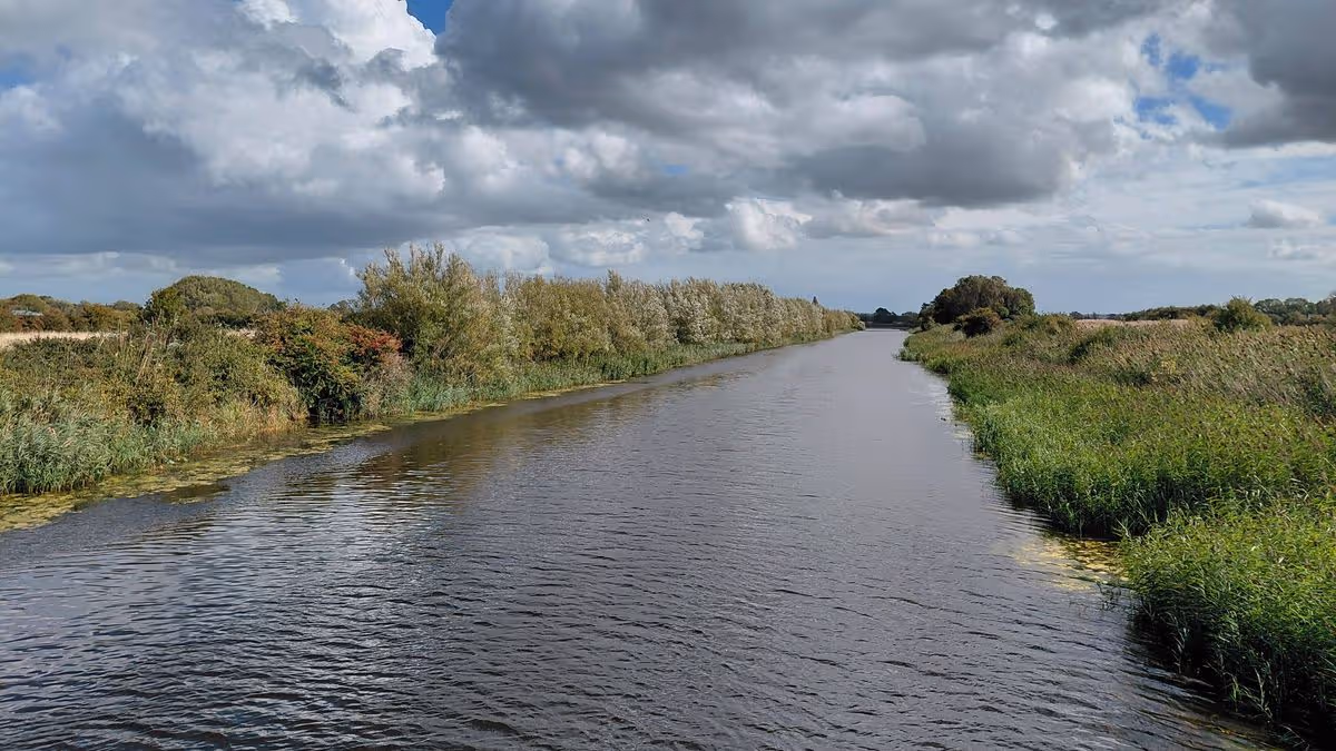
Huntspill River serves Gravity enterprise zone

The Huntspill River, seen from Sloway Lane in West Huntspill(Image: Local Democracy Reporting Service)
A major flood relief channel in Somerset could be improved in the coming years to increase the amount of water which can be moved off the Levels and Moors during a flood event.
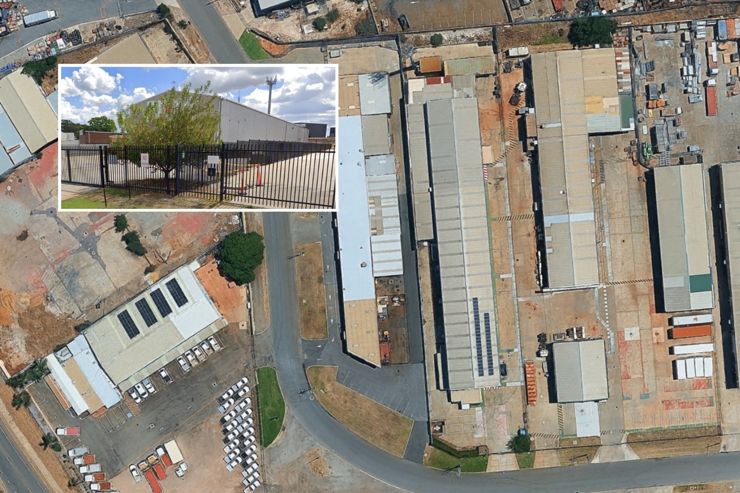
The Huntspill River was constructed in 1940 to provide water for the Royal Ordnance Factory east of Bridgwater – land which is now the site of a new ‘gigafactory’ within the Gravity enterprise zone.
The channel has been a vital component of Somerset’s flood defences since its inception, providing an alternative means for water within the River Brue catchment to reach the Bristol Channel.
The Somerset Rivers Authority (SRA) has now hinted that the channel could be de-silted in the coming years, allowing more water to be stored downstream of the Levels and Moors following heavy rain.
The Huntspill River is currently fed by two different parts of the River Brue catchment: the South Drain (which runs west of Glastonbury through the Avalon Marshes) and the Cripps River (which carries water south of the main river channel near East Huntspill).
Water from both channels moves through the Gold Corner pumping station and flows north of the Gravity site, under the M5 north of junction 23, under the A38 near West Huntspill and exits into the River Parrett before it joins the Bristol Channel.
The River Brue steering group, set up by the SRA, assessed numerous proposals to improve flood prevention within the River Brue catchment area, in order to determine where money would be best spent to protect residents, businesses, farmland and major transport links.
These proposals range from major projects like lowering the Huntspill River and expanding the Highbridge Clyse (which stops tidal water from the Bristol Channel flowing up the Brue) to more low-level interventions, such as raising low points on the existing river banks.
Following a comprehensive modelling of the entire catchment, the group concluded that three actions would deliver the greatest benefit:
- Formalise “pre-lowering procedures” for the Huntspill River (i.e. reducing the amount of water in it before “significant rainfall events”, so that more water can flow into it off the Levels)
- Address low spots in the existing River Brue bank
- Commission a study into “pinch points” which prevent water from moving at an adequate pace downstream of the Cripps River
A spokesperson for the SRA said: “Work on the Huntspill River will involve lowering of the retained water prior to a flood event.
“There may be difficulties with this due to siltation within the channel and environmental constraints, but it provides significant additional benefit, especially to the pumped catchments and the area around Decoy Rhyne.
“It will lead to a reduction in pumping at Gold Corner, yet much increased discharge from the Huntspill River; with this lower level, water can enter the Huntspill River via gravity without pumping.”
The SRA believes that improvements to the Huntspill River could cost around £1m to implement, on top of £290,000 for bank improvements elsewhere in the Brue catchment.
SRA chairman Mike Stanton said: “We know what needs to be done where, but we need the Environment Agency and the drainage boards to find the funding to do this – which may include applying to the SRA.”
Vice-chairman Tony Bradford said he hoped there would finally be tangible progress on improving the River Brue after what he characterised as a decade of inertia.

Map of the River Brue and River Sheppey catchments(Image: Somerset Rivers Authority)
He said: “This has been going on for ten years. The question I keep getting asked from people who are affected by the Brue area is: ‘when are we going to see something happen on the ground?’
“All they want is some action. There’s been a lot of action on the River Parrett, and it’s about time that the people living in the Brue catchment saw something happen.”
Iain Sturdy, chief executive of the Somerset Drainage Board Consortium, responded: “I understand the frustration with everybody around the time it’s taken, but these are positive steps.
“The model unquestionably shows that these actions, and other actions, have enormous impacts on the extent, the depths and the durations. The question is whether they generate sufficient benefits.
“There is no question that improving the condition of the Huntspill River provides flood risk benefit. It’s just whether the current modes of funding allow that; if not, we need to look carefully at other ways of doing things.”
A further update will be provided to the SRA board at its next meeting, which is due to take place on September 11.
To find all the planning applications, traffic diversions, road layout changes, alcohol licence applications and more in your community, visit the Public Notices Portal.


You must be logged in to post a comment Login