
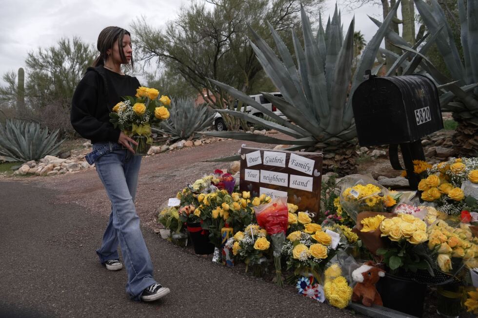

The family of a man who died from meningitis last month are speaking out to raise awareness of the importance of ‘listening to your body’.
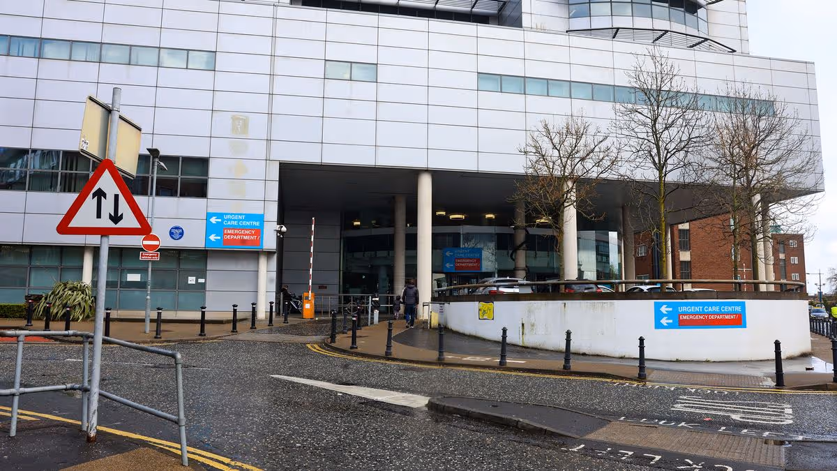
The man in his 50s, from Co Antrim, passed away at Belfast’s Royal Victoria Hospital just over four days after collapsing in his home after complaining of an upset stomach.
After seeing the increased media coverage surrounding meningitis after the outbreak in England, his family, who wish to remain anonymous, reached out to Belfast Live to bravely share their story.
READ MORE: Suspected meningitis case being investigated at Belfast schoolREAD MORE: Public Health Agency highlight meningitis symptoms to look out for after outbreak in England
They wish to make the public aware that deaths have occurred in Northern Ireland as a result of illness and to keep a vigilant eye on those reporting to be sick – even if they aren’t showing all of the symptoms being shared in the news.
His sister said: “I had got a phone call from my sister-in-law to say that my brother had collapsed and she didn’t know what was wrong with him – paramedics were there, Air Ambulance was on its way and when I got there, what I had witnessed was just absolutely awful.
“My brother was just lying on the floor and he was unresponsive. He had no power down one side of his body and he was rushed to the Royal Hospital.
“My sister-in-law said the only thing that she knew he had felt unwell with was the day before, he said he had a bit of an upset stomach and was tired.”
He was rushed to A&E, where it was believed at first that he was suffering from a stroke due to the weakness on one side of his body.
“They put him into the stroke ward but he detoriated and they told us at that time that there was a chance he would have to go into the ICU. He had got another CT scan and discovered early the next day that it was Meningitis,” his sister explained.
His niece added that doctors were aware that he had inflammation on the brain after the two CT scans came back inconclusive for a stroke.
She said: “They were able to tell us he had a serious infection and suspected it might be Encephalitis or Sepsis so they were going to run more blood cultures and submit him for another scan.
“The following day, he had another MRI scan and they were able to tell us at that point it was meningitis and his brain was severely damaged by that point with inflammation.”
Doctors informed the family that he had both bacterial and viral meningitis and was put on a ventilator, where they were told he was in “an extremely serious condition”.
Getting emotional, his sister said: “Nothing prepares you for being told that about your brother and to be told he very likely would not be making it and had to make the decision two days later to let him go.”
His niece said that the family decided they wanted to speak out to help others, as her uncle did not have the major symptoms being shared in the news in the wake of the meningitis outbreak.
They want other families to hopefully avoid the heartbreak and devastation they have faced since his death in February by listening to their bodies and getting themselves checked when something just doesn’t feel right.
“As a family, we are finding it even more distressing because meningitis has been in the news so much recently and we know what we have been through. It is not always obvious symptoms,” his sister added.
It was over 24-hours after he was admitted to the Royal before he was formally diagnosed with meningitis.
“It was so distressing watching him and not knowing what was wrong.”
His niece continued: “He was still conscious until a point because we knew he could hear us because he would squeeze my hand when I would ask him something and when we first went in, I had grabbed his hand and said ‘it’s ok we are here’ and a wee tear fell down the side of his cheek.
“It was just so awful to see him like that and him being aware we were there and there was just nothing we could do.
“To the most stoic of persons who would go ‘oh I’m just a bit run down’, if its the most usual of symptoms that seem to appear that goes beyond the usual cold or flu feeling, go get it checked out.”
The family are encouraging the public to get behind the campaign to get the meningitis vaccine as it reduces the chances of anyone having to go through what they have and having to say goodbye to a loved one so suddenly.
They hope that in sharing the circumstances of his death, people will be more aware that it is not just an illness that affects children and young people.
“For him to get this so out of the blue was really quite hard for us all to wrap our heads around,” his sister added.
The family have also highlighted the struggle to find information and figures on others who have died in Northern Ireland from meningitis and that data on recent deaths, such as their brother, or recent cases detected are not readily published.
His sister stressed: “This is happening in Northern Ireland and not just across the water so please be aware.”
Despite the heartbreak his family have been experiencing since his death last month, they also wanted to take time to thank the staff at the Royal Victoria Hospital, the Northern Ireland Air Ambulance and the paramedics.
They said: “The RICU were utterly amazing, they were so so good to him. Even the aftercare they’ve provided – they’ve been in touch with my brother’s wife.
“In spite of what we’ve been through, we feel passionately geared to raise meningitis awareness and do anything to make the vaccine more readily available to the public.”
Information on meningitis can be found at www.pha.site/meningitis-nidirect
For all the latest news, visit the Belfast Live homepage here and sign up to our daily newsletter here


You must be logged in to post a comment Login