


A British woman whose body was found inside a suitcase in an abandoned building in Athens sent a final text to her family telling them that she wanted to be alone, it emerged today.
Police in Greece believe that the people who killed Elisabeth Jane Ross used her phone to cover up her death by sending a string of misleading messages to her family in a bid to buy time and escape.
Elisabeth, 38, from Scotland, was found dead inside somebody else’s suitcase by a homeless man in the Kypseli district of the Greek capital on Saturday, July 18.
But detectives say that from July 15, three days before her body was discovered, somebody sent messages to her family pretending to be her.
The texts claimed that she ‘needed some time to herself’ and that she ‘wanted to be alone for a while’.
Investigators say the phone, which remains missing, was active in the Athens area until around 24 hours ago, when Elisabeth was formally identified.
A police source told Greek media: ‘The suitcase did not belong to the victim, as she did not have any large luggage with her. This means that it is possible that genetic material or fingerprints will be found in the suitcase that will help the authorities find the perpetrator or perpetrators.’
Officers are poring over CCTV footage from around the building where Elisabeth was found. Due to the weight of the suitcase containing her body, they believe the killers are likely to have been staying nearby.
Elisabeth Jane Ross was found dead with her body stuffed inside a suitcase in Athens, Greece

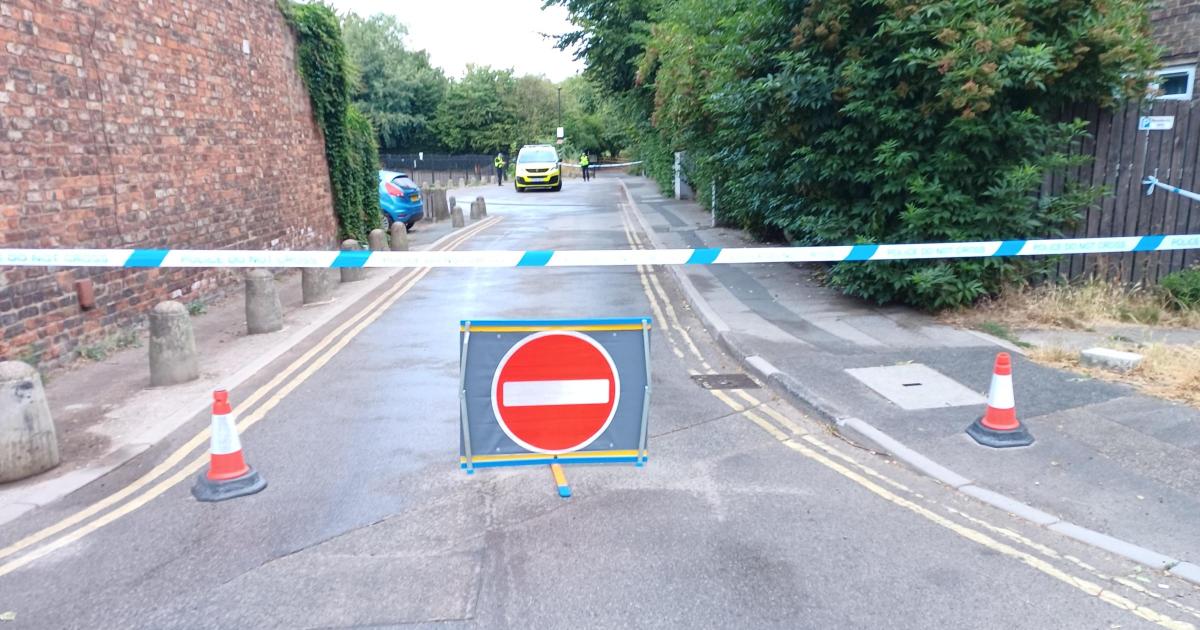
Pictured: The abandoned building where Ms Ross was discovered
The alarm was raised around 1pm on Saturday after a homeless man notified the police that he had spotted a suitcase and something coming out of it, which ‘looked like a human limb’.
The body was later identified as 38-year-old Ms Ross, who had flown from Cyprus to Athens where she was staying with friends.
She had flown from America to Europe on June 29.
Ms Ross was last seen just before the alleged murder on July 15, and around the time that forensic scientists believe the crime took place.
It has also been claimed that the British woman’s phone was being used up until the point she was identified by media.
One Greek officer said: ‘The phone was being used. Text messages were even sent obviously with a view to making people believe she was still alive.
‘We are treating the building as a crime scene.’
Authorities are waiting for the result of toxicological tests saying they are likely to uncover how Ms Ross died.
The initial examination of the body showed no obvious injuries or signs of struggle, while no identification was found on her.
Greek authorities then took fingerprints but found no match in the national database. They then discovered they were registered in American databases.
According to police, the victim was around 5ft 4in with reddish hair tied in a bun, wearing black shorts and a T-shirt.
Her shorts bore the name of a French university, prompting Interpol to be alerted.
Her identity was then confirmed by the Interpol office in America, which informed the Hellenic Police that the body belongs to a British woman with the initials E.R, born in February 1988.
Greek news outlets released photos of the 38-year-old woman on Wednesday.
Investigators have established that the woman flew to Greece on June 29 from the United States after travelling via Cyprus.

Local outlets released a photo of the 38-year-old, as investigations are ongoing to determine her cause of death

The initial examination of the body showed no obvious injuries or signs of struggle, while no identification was found on her
Police have requested passenger information from the airline she travelled with to determine if she was with anyone, and are checking local accommodation registries for reservations under her name.
Officers estimated that her death occurred between five and seven days before the body was found.

Elisabeth arrived in Greece from Cyprus around three weeks before she was found dead
One Greek police officer told The Sun that authorities were shocked at the discovery.
He said: ‘To find a foreign national dead in a suitcase here in the heart of Athens is a first. In the history of Greek-British relations, it is unprecedented.’
Greek authorities will be working closely with the Cyprus Police on this investigation, while an autopsy is expected to be carried out to determine the cause of death.
The British Embassy in Greece and the woman’s father have been notified of her death.
Police wish to speak to her father to gather information about her recent activities.
An FCDO spokesman told the Daily Mail: ‘Our thoughts are with Elisabeth’s family during this difficult time. We are providing consular support and are in contact with the local authorities.’
A Police Scotland spokesman said: ‘We are aware of the death of a Scottish woman in Athens and are liaising with authorities in Greece. Officers are providing support to her family in Scotland.’


You must be logged in to post a comment Login